This function generates a bounding box for a given geometry with a specified aspect ratio. Additionally, it allows applying a buffer to expand or contract the bounding box.
Arguments
- data
An
sforsfcobject for which the bounding box is calculated or a data.table with x- and y- coordinates.- x
A character string representing the name of the column containing x-coordinates. Defaults to "x".
- y
A character string representing the name of the column containing y-coordinates. Defaults to "y".
- asp
A character string specifying the desired aspect ratio in the format
"width:height". Default is"16:9", ifNULLreturns simple bounding box without modifying aspect ratio.- buffer
A numeric value (in meters) specifying the buffer distance to be applied to the bounding box. Positive values expand the bounding box, while negative values shrink it. Default is
0.
Examples
# packages
library(tools4watlas)
library(ggplot2)
library(sf)
#> Warning: package 'sf' was built under R version 4.5.3
#> Linking to GEOS 3.14.1, GDAL 3.12.1, PROJ 9.7.1; sf_use_s2() is TRUE
# load example data
data <- data_example
# bounding box based on data
bbox <- atl_bbox(data, buffer = 1000)
# bounding box based on specified coordinates in EPSG:4326
bbox <- data.table(x = c(5.107, 5.330), y = c(53.303, 53.230)) |>
st_as_sf(coords = c("x", "y"), crs = 4326) |>
st_transform(crs = 32631) |>
atl_bbox(buffer = 1000)
# bounding box based on polygon
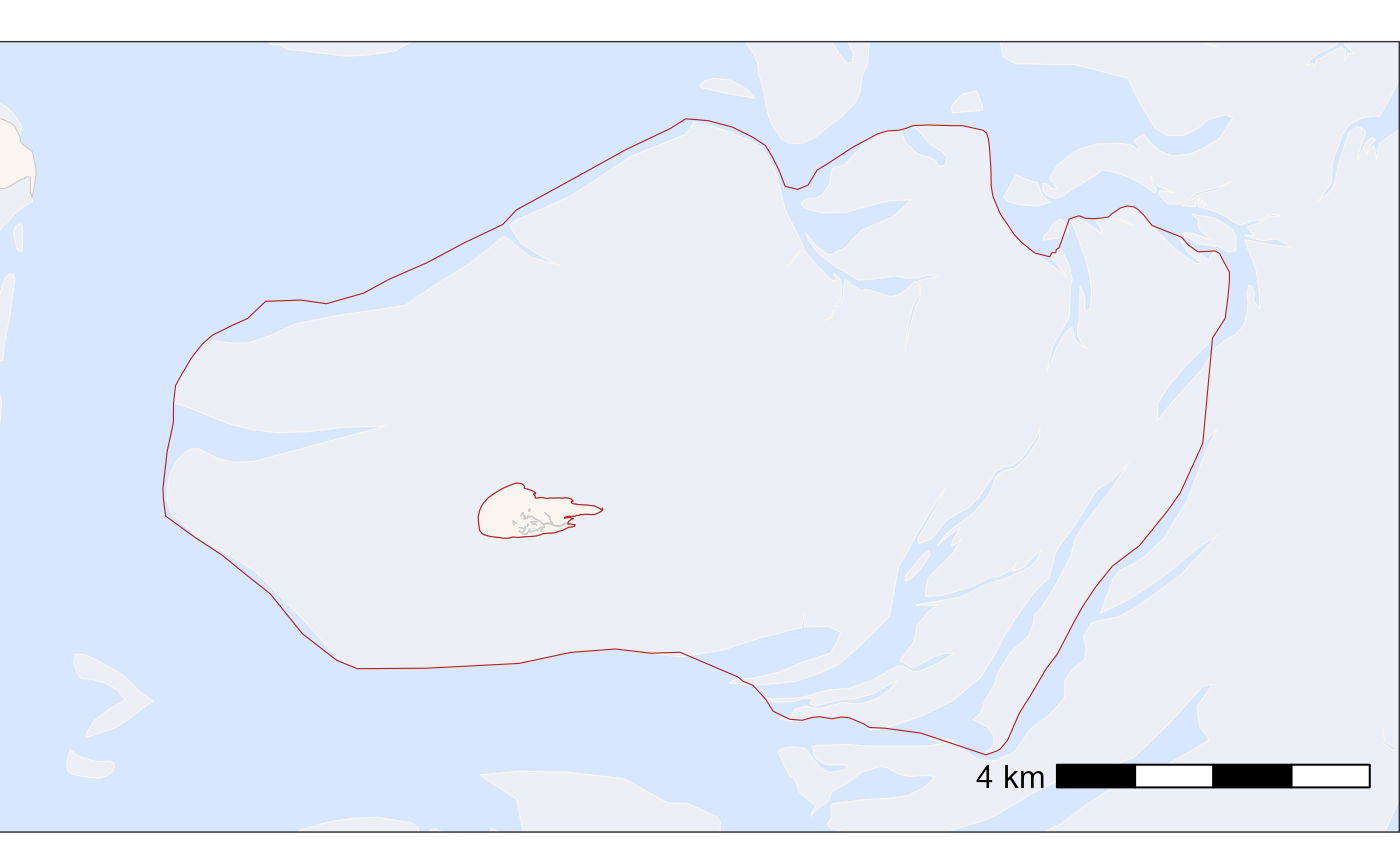
bbox <- atl_bbox(grienderwaard, buffer = 1000)
# create basemap with bounding box
bm <- atl_create_bm(bbox)
# plot bm with bounding box when bm coordinates are overridden by geom_sf
bm +
geom_sf(data = grienderwaard, fill = "transparent", color = "firebrick") +
# set extend again (overwritten by geom_sf)
coord_sf(
xlim = c(bbox["xmin"], bbox["xmax"]),
ylim = c(bbox["ymin"], bbox["ymax"]), expand = FALSE
)
#> Coordinate system already present.
#> ℹ Adding new coordinate system, which will replace the existing one.